Tlaqatik Trail
Gallery
Quick Facts
| Difficulty | wheelchair |
| Trail Type | mixed |
| Distance | 4.7 km return |
| Estimated Time | 1 hr 45 mins return |
| Surface Type | crushed rock, boardwalk |
| Elevation Change | 9 meters |
| Features | fields, bay, dunes |
| Trail Markers | signs |
| Scenery Rating | beautiful |
| Maintenance Rating | well maintained |
| Cell Reception | not checked |
| Dog Friendly | on a leash, not on beach |
| Fees | yes |
Store

Map
Directions
For directions to this part of the park go to the Greenwich Section - Prince Edward Island National Park page.

From the visitor center turn right on Wild Rose Road. At the end of the road turn right. After a kilometre you will come to a parking area. The Tlaqatik Trail enters the woods on the left of the parking area.
Description
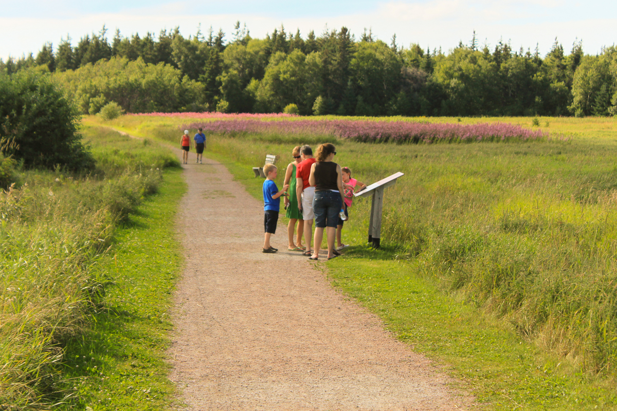
The Tlaqatik Trail starts by going through a patch of woods. The wide crushed rock trail then turned to the right and goes through fields overlooking St. Peters Bay. The trail passes the Havre Saint Pierre Trail that loops down through one of the fields to the shores of St. Peters Bay.
The trail is the main access trail to Greenwich Dunes. On the way to the Greenwich Dunes Trail it travels by an old homestead that was on the property up until 1997 (see From the Sign below). Now all that remains is a beautiful patch of pink fireweed and a couple of forked white birch trees.

After the Trail passes the junction with the Greenwich Dunes Trail it makes a big loop our around the back side of the Greenwich sand dunes and then along the shores of St. Peters Bay. We haven't had a chance to explore this section of the trail yet but can't wait to go back.
From the Sign
The Sanderson Farm
It is believed that Charles Sanderson started farming here aroud 1820. Until the farm was sold in the early 1970s, different generations of Sandersons cared for this land. Always mindful of the ever-changing sand dunes, they helped to shape the landscape. Many of the old fields and woodlots that you see today remain as evidence of their efforts.

The old birch trees that you see before you mark the site of the Sandersons' farmstead. The last Sanderson to own the farm was Cyril, a great grandson of Charles, who took over the farm in 1939 at the age of 14. After the land was sold, the buildings gradually fell into ruin and the house was eventually torn down in 1997.
From the Sign
Tlaqatik Trail
Tlaqatik is a Mi'kmaw word meaning "at the campsite." People of different cultures have lived in this area for around 10,000 years. Through archaeological and historical research we are just beginning to uncover their stories. Discover the fascinating history of this special place as you explore this trail. You will see spectacular views of St. Peters Bay and will travel through abandoned farm fields, past archaeological sites, through a small white spruce forest and along the back edge of a large dune system.


External Links
Trail Last Hiked: July 23, 2017.
Page Last Updated: April 18, 2020.